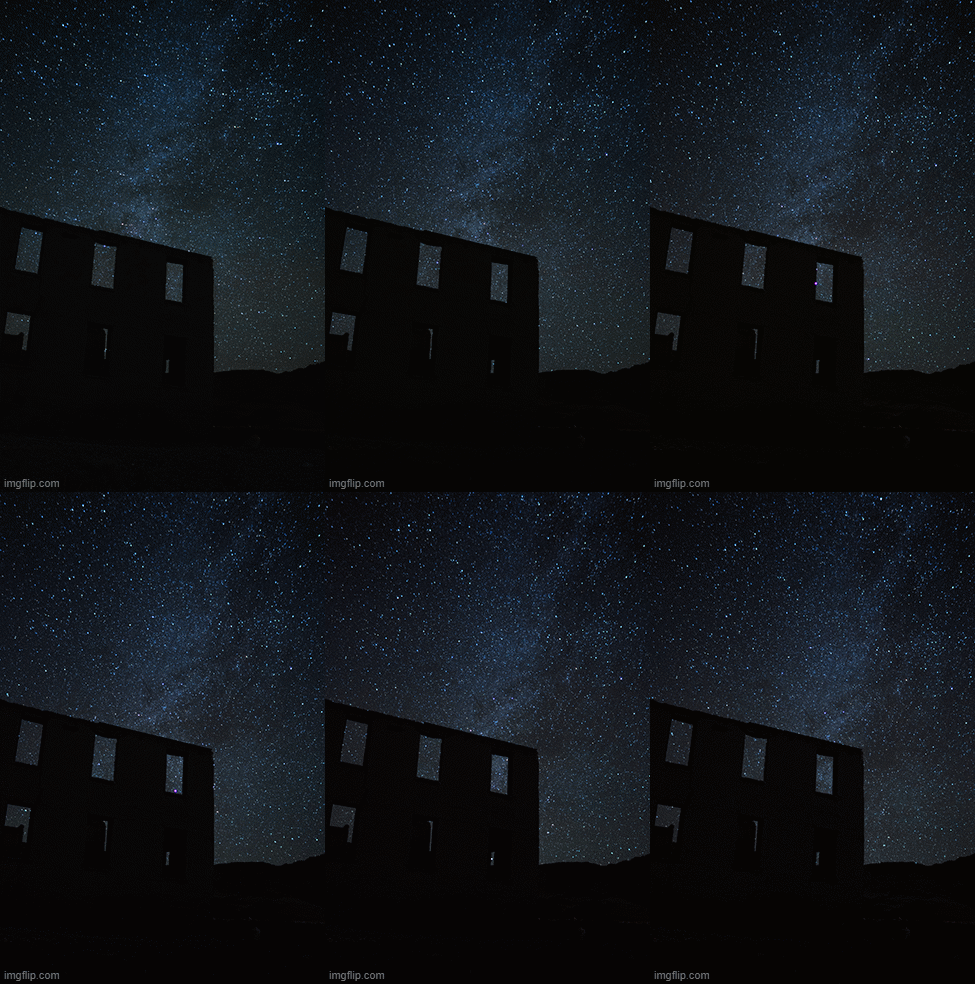
Rhyolite
about the site:
36° 54′ 14″ N, 116° 49′ 45″ W
Another easily accessible ghost town in Nevada, Rhyolite is adjacent to Highway 374, just West of Beatty, Nevada. Driving west from Beatty, it's only 4 miles off the main route from Las Vegas to Tonopah (Highway 95) By 1907, Rhyolite had electric lights, water mains, telephones, newspapers, a hospital, a school, an opera house, and a stock exchange. Published estimates of the town's peak population vary widely, but scholarly sources generally place it in a range between 3,500 and 5,000 in 1907–08. (~Wikipedia)
Due to the wonderful condition of many of the remaining building, it is a popular location for tourists, and you will have no difficulty finding plenty of pictures of this ghost town online. For night photos, however, the bright street lamps within the ghost town serve as a major PITA!
According to www.LightPollutionMap.info, this is a Bortle Class 2 or 3 location, but with the town of Beatty so close, don't expect pitch-black skies.
From Las Vegas, take Highway 95 into Beatty and turn left onto 374. After 4 miles, take a right onto the rough road. A little under 2 miles, and you're there! again, If my little Z3 can make it, anything can!


